Seattle train map
You can find on this page the Seattle trains map to print and to download in PDF. The Seattle trains map presents the rail network and railway stations of the trains of Seattle in Washington - USA.
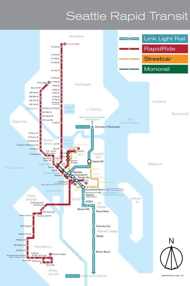
Seattle rail map
The Seattle rails map shows all the railway stations and lines of Seattle trains. This railway map of Seattle will allow you to easily plan your route with the trains of Seattle in Washington - USA. The Seattle rails map is downloadable in PDF, printable and free.
Sound Transit Link Light Rail extends from the city of SeaTac to the University of Washington and is constantly expanding to help passengers experience the Puget Sound Region. With stops in South Seattle neighborhoods, the stadium district, the International District/Chinatown and downtown locations as you can see in Seattle rail map, it is a great option for travelers coming to or from the airport. Although trains have disappeared from the city streets, Seattle has a history of having streetcars and the city first streetcars appeared in 1888. The advent of cars in 1939 gradually ended the city railway service until it was restored by Sound Transit commuter rail and Link light rail. In 2003, the Tacoma Link light rail was completed and construction work started on the Central Link. The Central Link opened to public on 18 July 2009. The Central Link serves the Beacon Hill and Rainier Valley neighbourhoods and Seattle SODO industrial area.